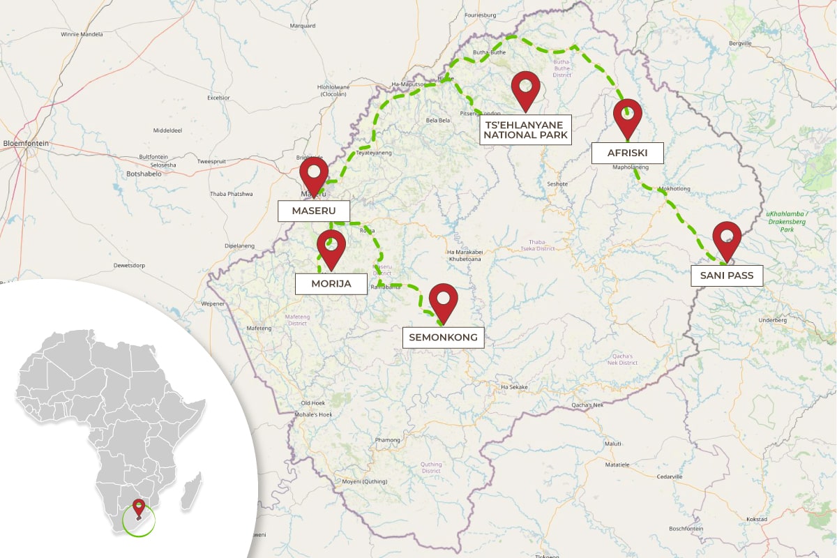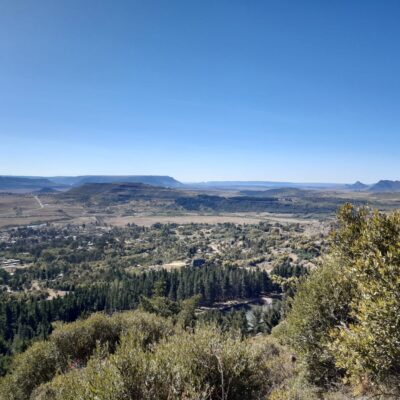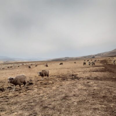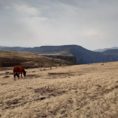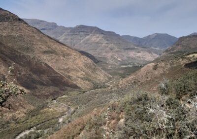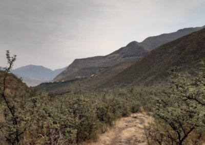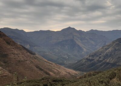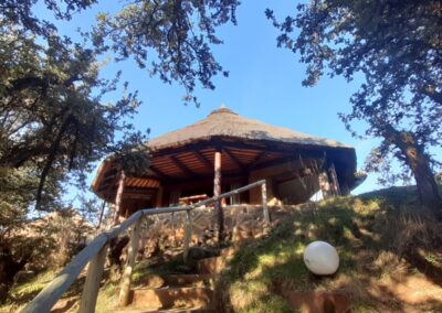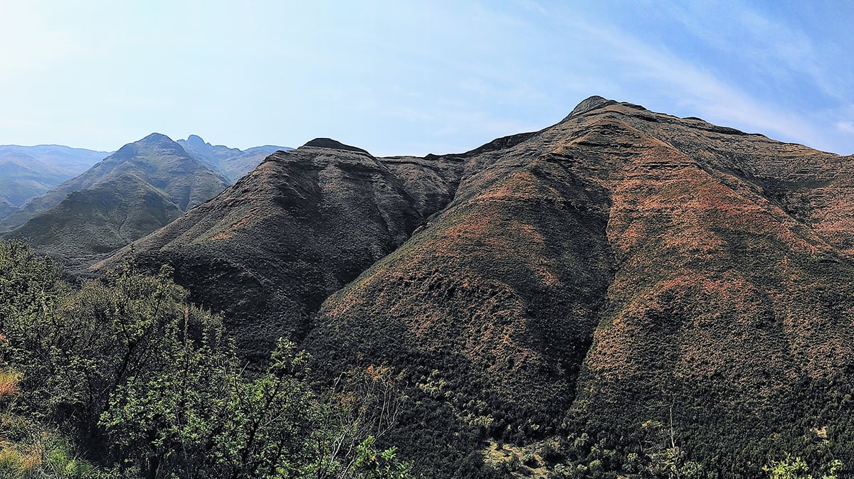
Lesotho is a mountainous nation located in the heart of southern Africa. Entirely surrounded by South Africa, the Kingdom of Lesotho is located at an altitude that can vary from 1,600 meters of its capital, Maseru, up to 3,482 meters of its highest peak, Thabana Ntlenyana, fully deserving the nickname of "Kingdom in the Sky“.
In the summer of 2023, we at My Trekking Stories had the opportunity to explore it, visiting some of its most symbolic and captivating locations, and traversing fascinating hiking trails, immersed in the pristine wilderness.
In questa avventura siamo state accompagnate, guidate ed ospitate da Unfold the World, che ringraziamo per il suo prezioso supporto.
The itinerary
MORIJA
After passing through the capital Maseru, an obligatory stop for those arriving by plane, we move towards Morija, about an hour's drive away.
Morija is a small village known for its historical and cultural importance, as it was home to the first Protestant mission in the country, founded in 1833, and offers the opportunity to explore the culture and history of Lesotho by visiting the Morija Museum & Archives. A number of interesting initiatives have sprung up in this area, including Pheha Plastic, a plastic recycling social enterprise. The village is surrounded by enchanting mountain landscapes, making it an ideal starting point for hikings and outdoor activities.
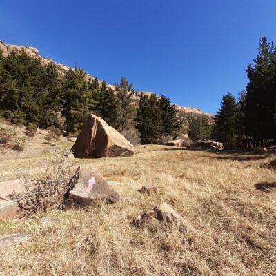
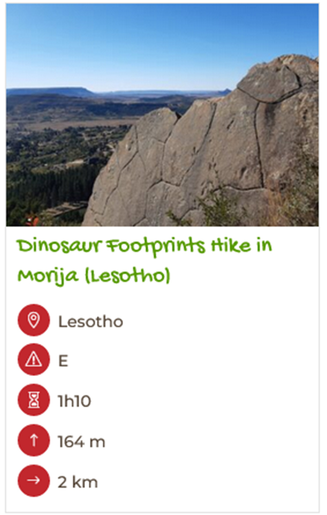
In Morija, we stayed at the welcoming Morija Guest House and followed the itinerary to the dinosaur footprints.

SEMONKONG
Semonkong is a rural town located in an inland area of Lesotho, about two hours' drive from Maseru.
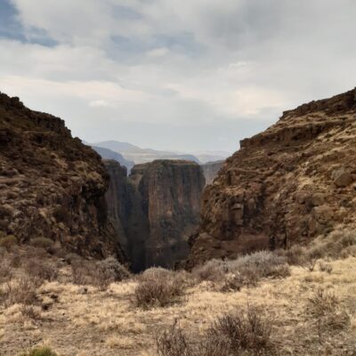
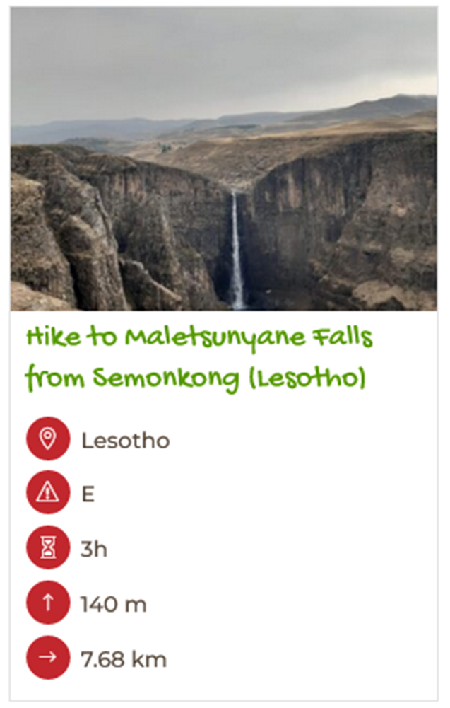
Semonkong is most famous for Maletsunyane Falls, the highest single-drop waterfall on the African continent. This village, in addition to offering visitors the opportunity to explore uncontaminated natural landscapes, also allows you to immerse yourself in the daily life of the local community.
For our stop in Semonkong, we stayed at the characteristic Semonkong Lodge, which also organizes many activities in perfect synergy with the local community (including a fun Pub Crawling with Donkeys), and we followed the hike up to the Maletsunyane Falls.

TS’EHLANYANE NATIONAL PARK
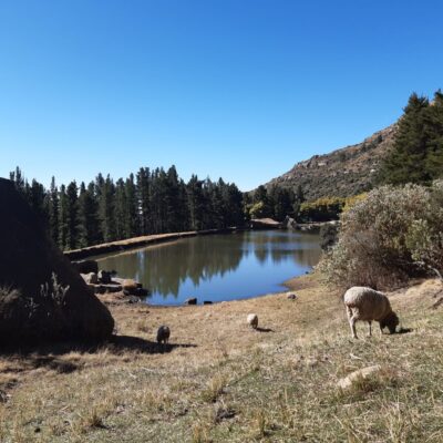
The Ts'ehlanyane National Park is a pristine national park located at an altitude of over 2,000 meters, reachable in just under three hours from Maseru.
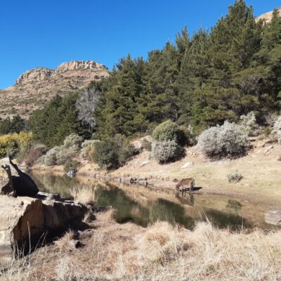
Characterized by mountain landscapes, crystal clear waterways and a rich variety of flora and fauna, it allows you to immerse yourself in the wild beauty of the Lesotho mountains.
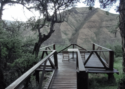
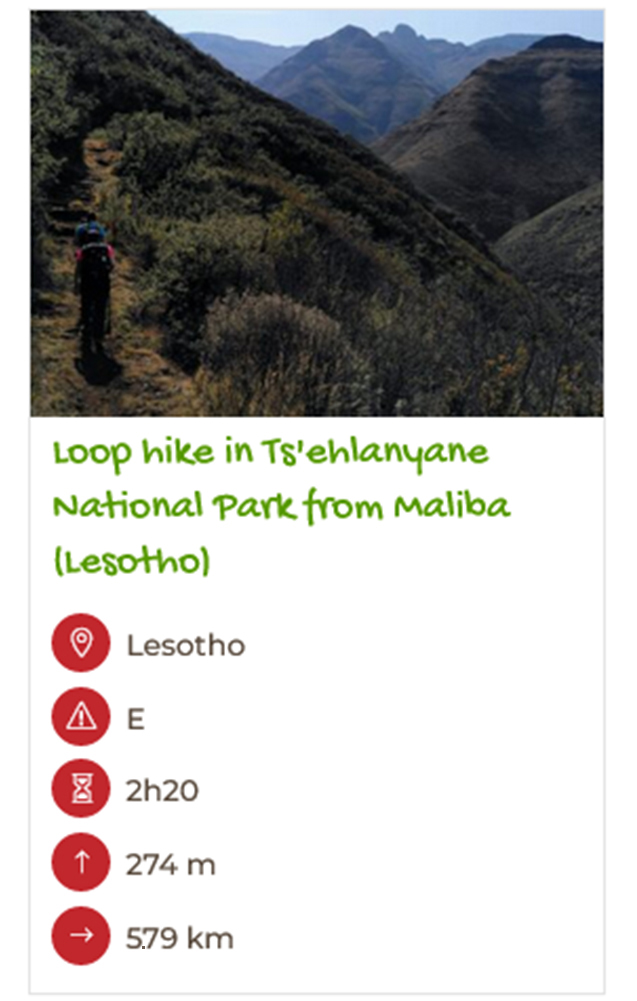
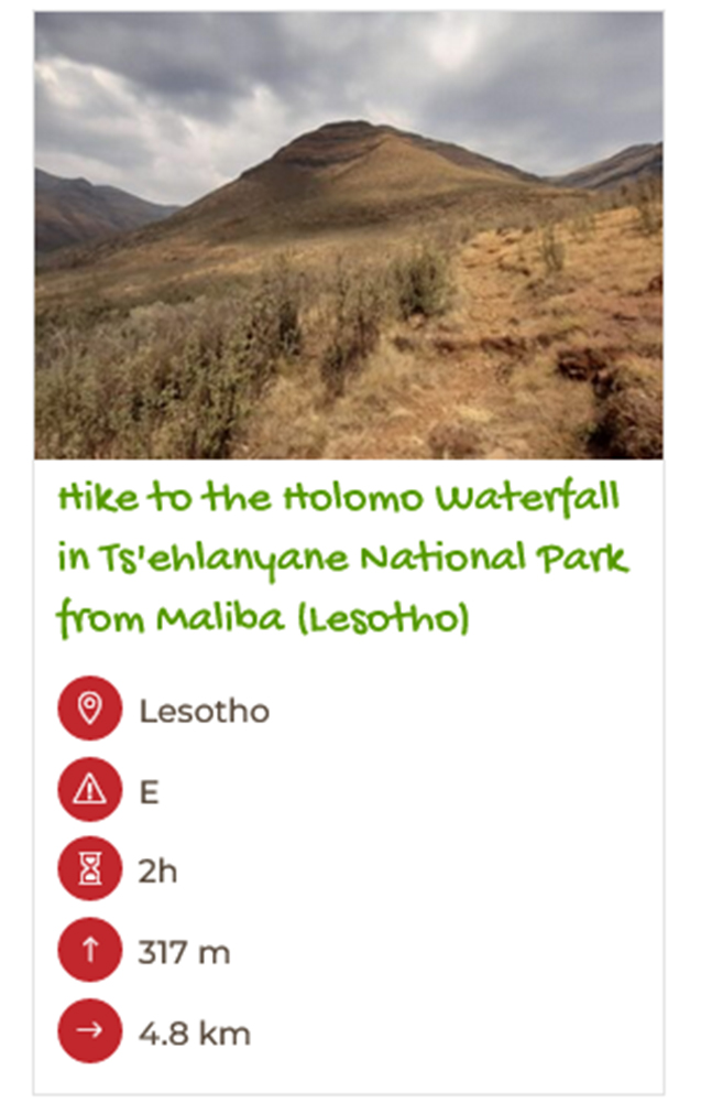
During our stay in the Park, we stayed at the Maliba Lodge, an accommodation facility that offers both self-catering chalets and luxury lodges with a restaurant. Most of the Park's itineraries depart from Maliba, including the two we took.

AFRISKI
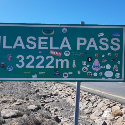
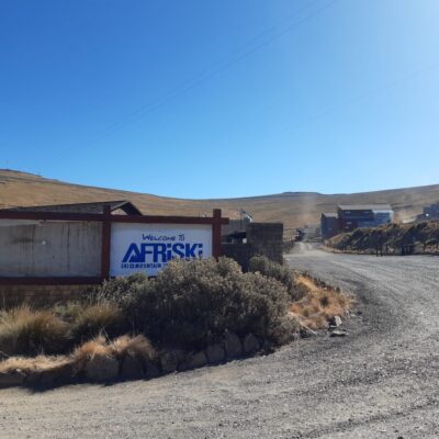
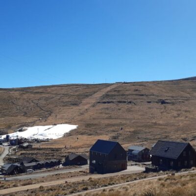
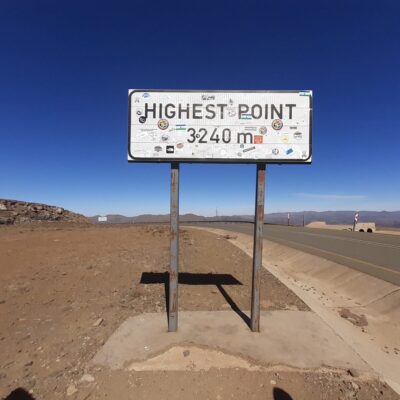
Along the road from Maliba to our next destination, Sani Pass, we cross some of the highest mountain passes in the country (including the Mahlasela Pass at 3,222 m) and stop at Afriski, Lesotho's only ski station.
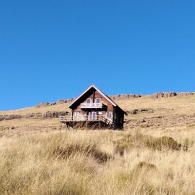
During the winter season, which here runs from June to August, in Afriski there is the possibility of having fun on the snow-covered slopes or taking part in one of the scheduled events. In addition to the slopes and a restaurant, in Afriski it is also possible to stay in wooden huts with an Alpine flavour, to enjoy the experience of spending a night at over 3,000 meters above sea level.

SANI PASS
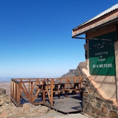
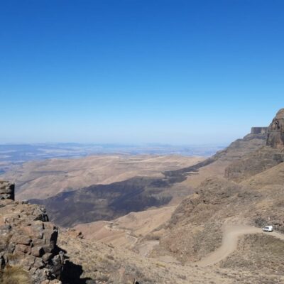
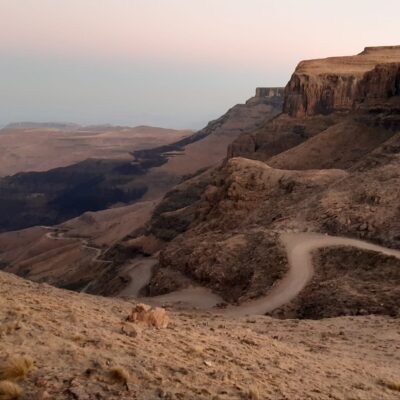
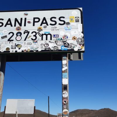
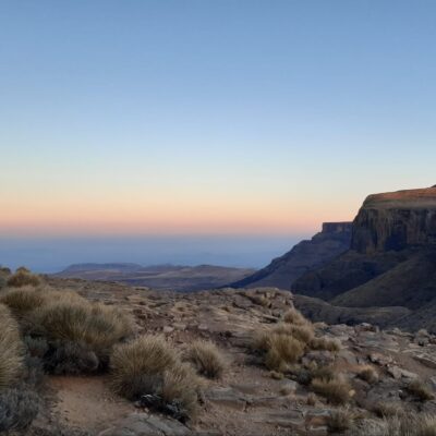
The Sani Pass is a suggestive pass located at 2,900 meters above sea level, which marks the border between Lesotho and South Africa, within the Drakensberg Park area.
The landscape in this area is unique and fascinating. It is here that the mountains that have accompanied us so far plummet over 1,300 meters towards South Africa, offering a breathtaking view of the plains below and, on the clearest days, up to the Indian Ocean. Coming from Lesotho, the Sani Pass can be reached via a fairly easy tarred road, while, coming from South Africa, you have to travel along a steep and winding dirt road (accessible only to 4x4 vehicles), which represents an adventure in itself.
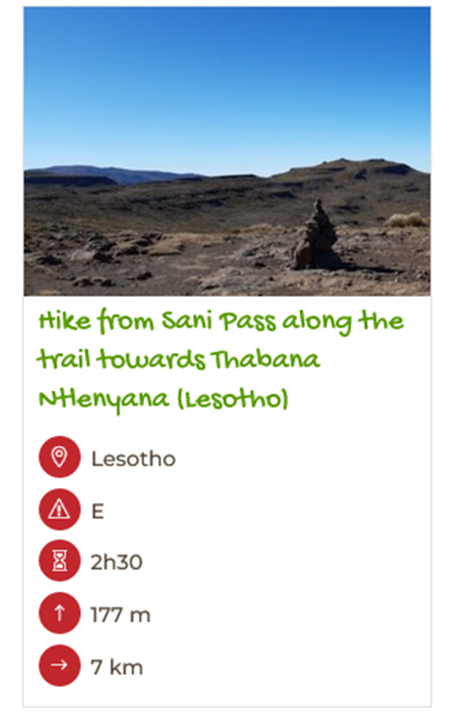
During our stay in Sani Pass, we overnight at the Sani Mountain Lodge, a characteristic accommodation facility located right in the panoramic border point. From here we unsuccessfully attempted to climb Thabana Ntlenyana (3,482 metres), the highest peak in Lesotho and the southern part of the African continent.

Some tips
HOW TO GET TO LESOTHO
The most common way to reach Lesotho is to fly to Johannesburg International Airport in South Africa and then take an internal flight to Maseru, the capital of Lesotho. The flight to Johannesburg takes approximately 10-11 hours from Europe, while the internal flight to Maseru lasts about 1 hour. For italian citizens a passport is required for travel in both South Africa and Lesotho.
HIKING
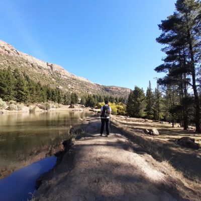
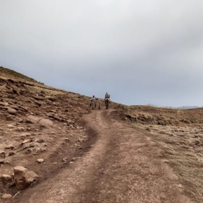
Lesotho is a place of pristine beauty but still very far from mass tourism. Some of the paths we took, especially those inside the Ts'ehlanyane Park, were well traced and easy to locate. In other locations, however, rather than actual hiking trails, they were dirt roads or paths used mostly by local shepherds and therefore not always clear and easily identifiable. For this reason, in some cases, it could be helpful to rely on a guide or participate in excursions organized by many of the accommodations that hosted us.
WEATHER
It's important to remember that in Lesotho, being in the southern hemisphere, the seasons are opposite to those in the northern hemisphere. Summers in Lesotho can be rainy and characterized by severe thunderstorms. Since Lesotho has large areas with sparse trees, lightning can pose a significant danger during the summer season. In winter, on the other hand, temperatures can be very cold, and substantial snowfall is possible (let's not forget that we are at altitudes ranging from 1,600 to over 3,000 meters).
MEANS OF TRANSPORT
The best way to get around is by car, possibly 4x4. However, it should be kept in mind that in the country (as well as in South Africa) driving is on the left. Additionally, since many roads may be unpaved, unlit, or difficult to navigate, it is recommended traveling only during the day.
SAFETY AND MOBILITY
For more updated information on security and mobility, we invite you to consult the website of your country's Ministry of Foreign Affairs (here is the link for the Italian one).

