
San Marino
E
3h58
421
11.45
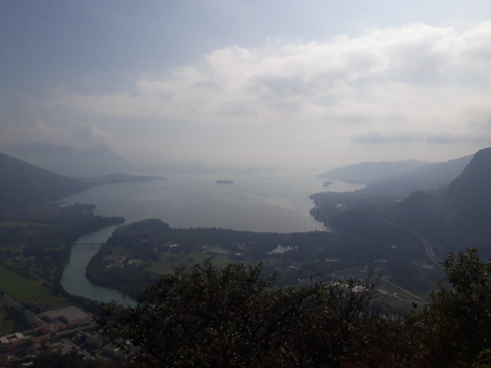
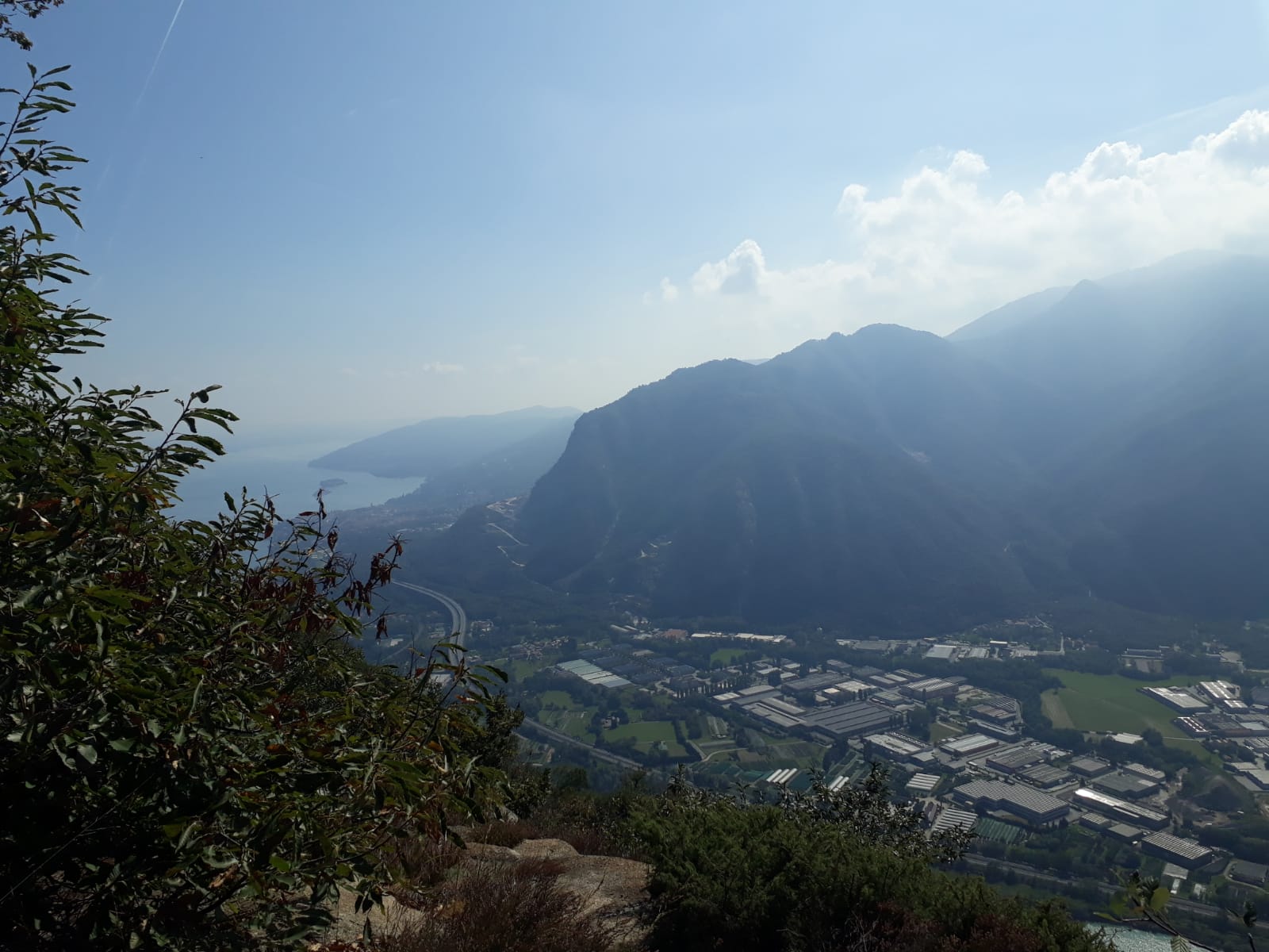
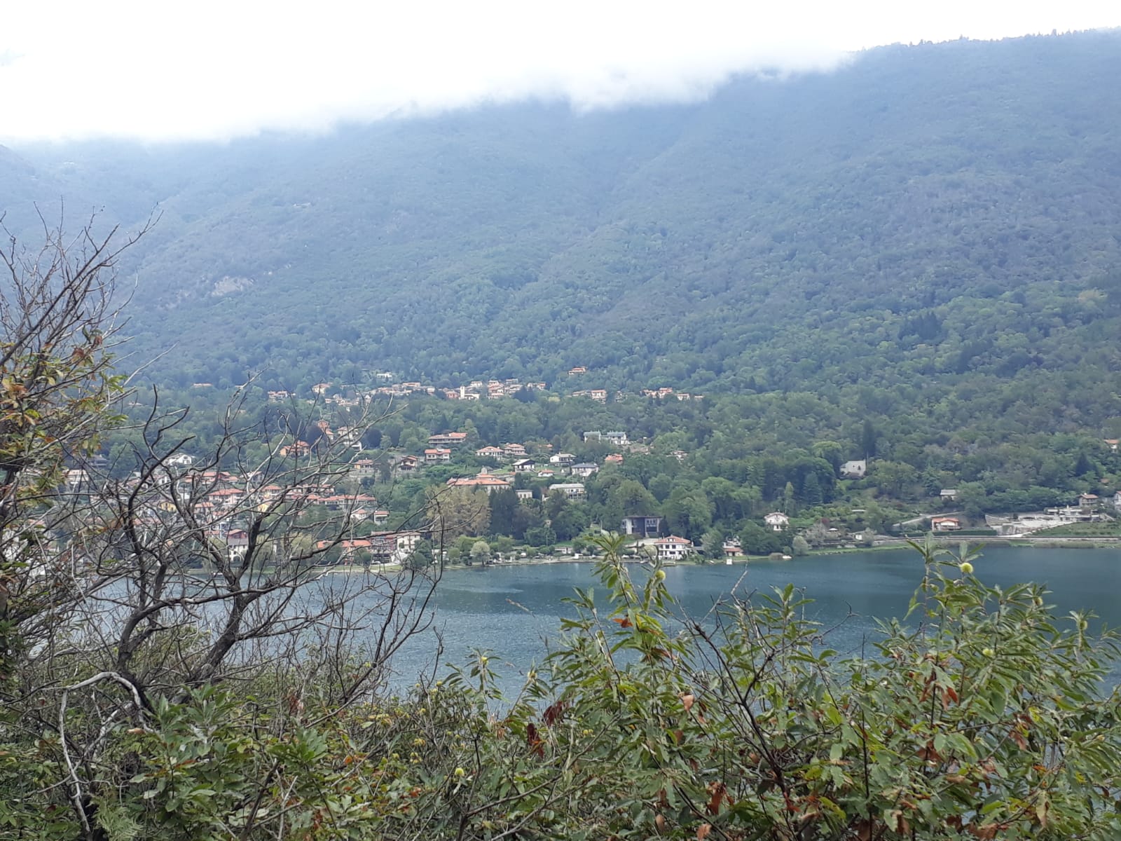
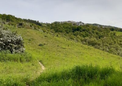
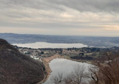
Un bellissimo percorso che, partendo dalla stazione di Verbania, porta fino alla cima del Montorfano. La salita regala degli scorci meravigliosi sul Lago Maggiore. La discesa porta al paese di Mergozzo da dove, prendendo un diverso sentiero (il sentiero Azzurro) che corre in basso lungo la riva dell'omonimo lago, si ritorna al punto di partenza.
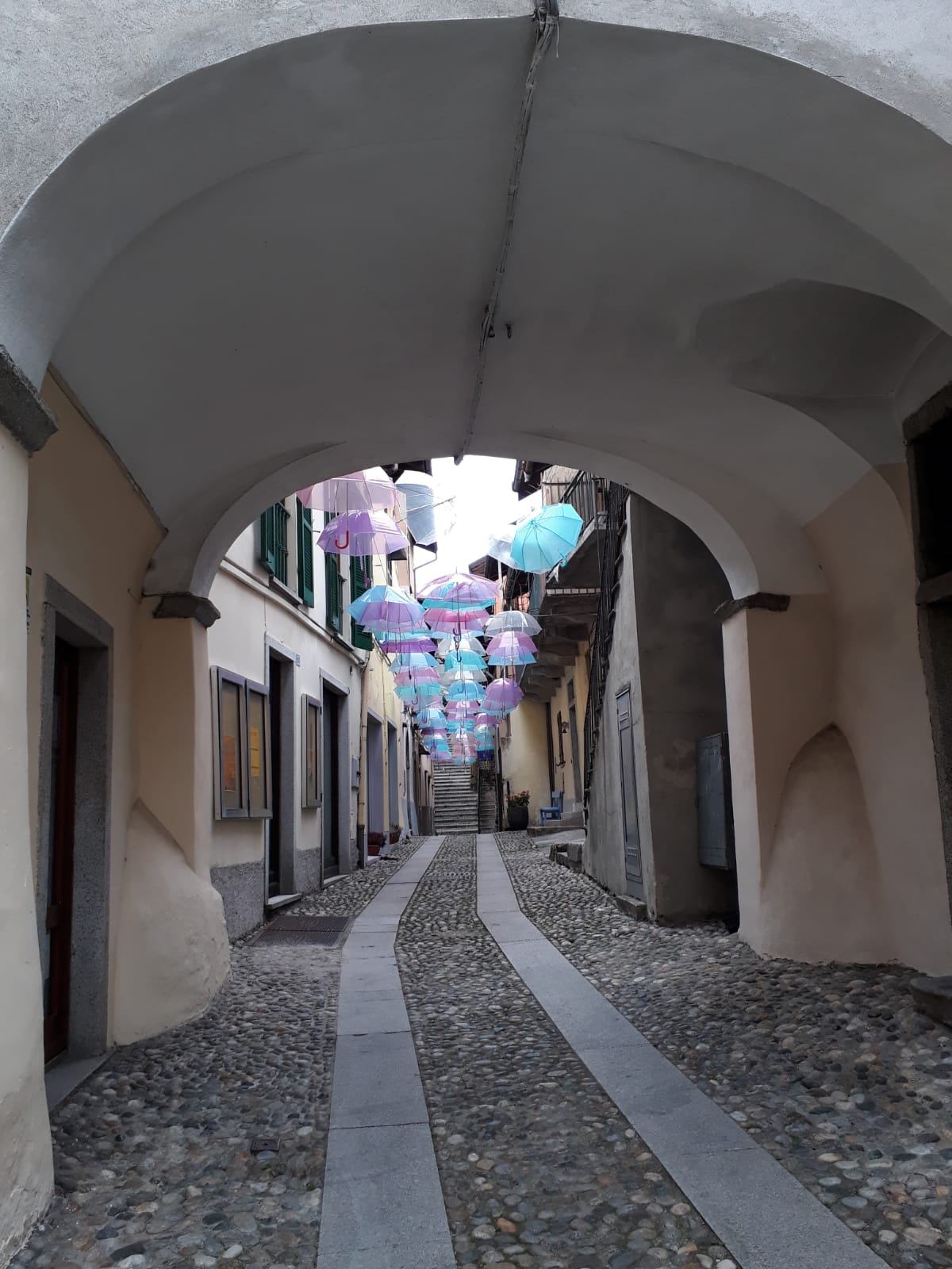
Nel nostro caso abbiamo scelto di spezzare in due giorni l'anello fermandoci a dormire a Mergozzo.
(Nella traccia gps è indicata solo la prima parte fino a Mergozzo).
N.B. The description refers to the conditions encountered on the date of the excursion. Before embarking on the itinerary, find out about its current conditions and the possible presence of snow and/or ice, to evaluate the feasibility of the excursion and equip yourself with the appropriate equipment. Always consult the snow, avalanche and weather reports in advance.

San Marino
E
3h58
421
11.45
Lombardia
E
3h40
680
9.6
Lombardia
E
2h02
80
7.63
Lombardia
E
2h44
294
8.05
T = TURISTICO
E = HIKERS
EE = ESCURSIONISTI ESPERTI
EEA = ESCURSIONISTI ESPERTI ATTREZZATI
For further details on the meaning, refer to the official CAI texts .
NB: le difficoltà indicate sono quelle presenti sulla segnaletica e/o testi ufficiali e sono comunque relative al periodo dell'anno in cui si è svolta l'escursione (la difficoltà può infatti variare in condizioni particolari come ad esempio in presenza di neve, ghiaccio o altre condizioni).
A TAPPE: un'escursione che fa parte di una rete di sentieri percorribile in più tappe concatenabili in più giorni.
AD ANELLO: un itinerario il cui punto di partenza e di arrivo coincidono ma il percorso seguito all'andata è diverso da quello seguito al ritorno.
A/R STESSA VIA: un itinerario che segue lo stesso tragitto sia all'andata che al ritorno.
![]() INVERNALE: l'itinerario è stato percorso in periodo invernale e presentava neve e/o ghiaccio, richiedendo quindi l'utilizzo di attrezzatura specifica. (Non è esclusa la presenza di neve e/o ghiaccio anche su itinerari non contrassegnati da questa tipologia in periodi dell'anno diversi da quelli indicati nel resoconto dell'escursione).
INVERNALE: l'itinerario è stato percorso in periodo invernale e presentava neve e/o ghiaccio, richiedendo quindi l'utilizzo di attrezzatura specifica. (Non è esclusa la presenza di neve e/o ghiaccio anche su itinerari non contrassegnati da questa tipologia in periodi dell'anno diversi da quelli indicati nel resoconto dell'escursione).
SENZA AUTOMOBILE: un'escursione che parte da un punto raggiungibile comodamente senza l'automobile quindi con treni o trasporti pubblici.
Si declina ogni responsabilità per l’uso improprio delle informazioni e dei materiali contenuti sul sito.
La responsabilità nel seguire gli itinerari proposti in questo sito web è totalmente a carico dell’utente e in alcun modo dell’autore. L’autore non si assume nessuna responsabilità per danni o incidenti derivanti da informazioni sbagliate o uso improprio delle tracce GPX.